Location: Chicago, IL
Client: Roen Salvage Co. / USACE Chicago District
Technologies: Multibeam Sonar, Sub-Bottom Profiler


PROJECT SUMMARY
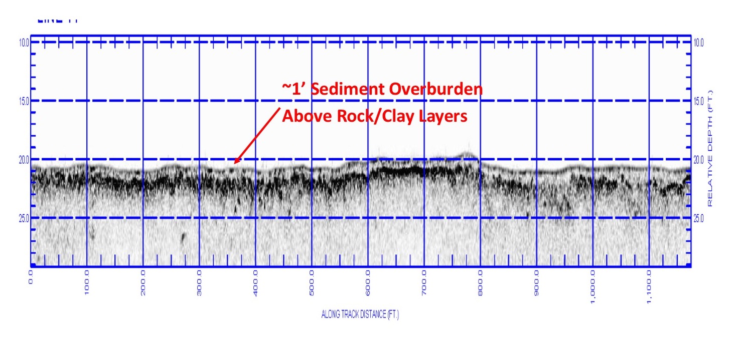
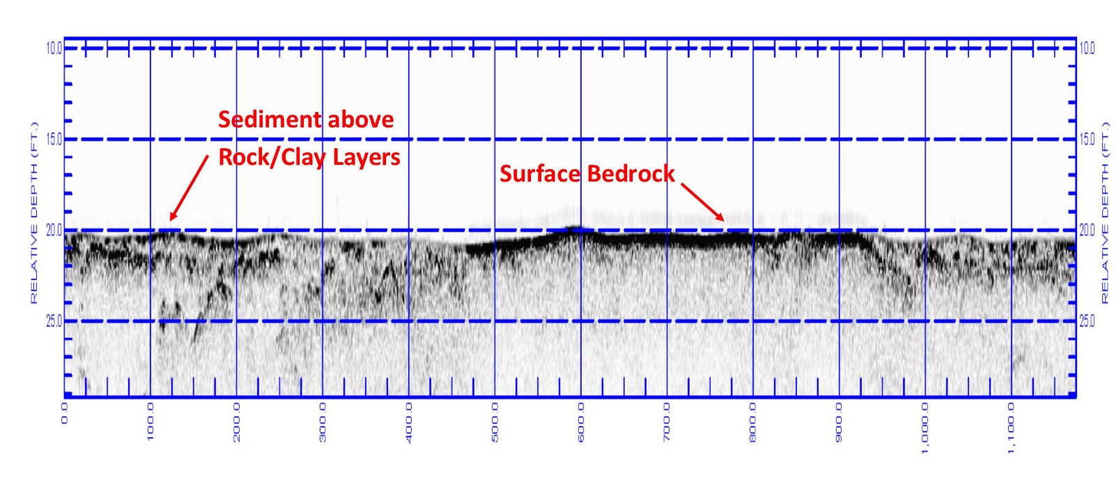
Seaworks was tasked by Roen Salvage Co. and the USACE Chicago District with performing surface and sub-bottom bathymetric surveys of a rock dredging area using multibeam sonar and a sub-bottom profiler. The survey area consisted of a 1,000’ x 1,000’ dredge cell with known areas of bedrock at and below the surface. Seaworks deployed a high-resolution multibeam system and CHIRP sub-bottom profiler, recording data simultaneously along a 25’ grid pattern throughout the cell. This data was used by Seaworks to generate high-resolution multibeam point grid representing the surface bathymetry, as well as isopatch drawings of the underlying bedrock and sediment overburden. A final report with volume computations was developed to guide drilling and blasting operations for the rock removal work. After the initial geophysical survey phase, rock dredging began, and several subsequent multibeam surveys were performed to monitor dredging progress.

